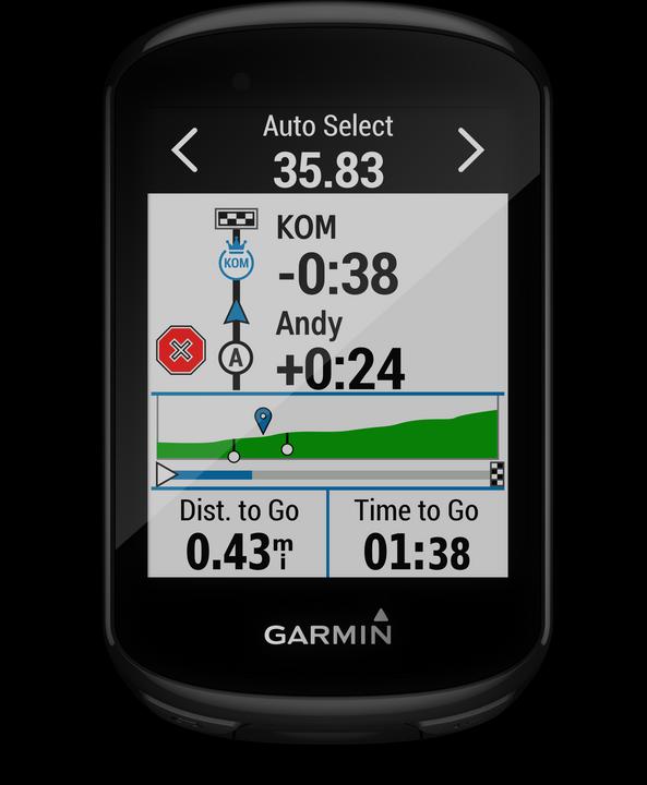
Garmin Edge 830

Garmin Edge 830
What does Basemap mean? Does it come with Europe preloaded? Or is there something else I need to buy in addition?
The basemap preloaded on Edge 830 is based on the OpenStreetMap data, and contains most roads, gravel paths and trails in Europe. It doesn't highlight numbered cycling routes, and has no altitude lines.
You can update the map through a cable, using the Garmin Express desktop app.
It is actually a lot more detailed than I was expecting - all the tracks & paths through fields and woods near me seem to be on it, possibly excluding some of the very smallest tracks, I'll need to check as I haven't had it too long) as well as lots of terrain features, VTT downhill tracks, POI such as restaurants, etc, as well of course all the normal roads including backstreets in residential areas.
Overall I am very happy with it, the stats recording & live view are great, it is only the routing calculation on the device itself (rather than following a preset or preloaded route) that is sometimes a bit strange although maybe I need to play with the settings a bit.
If you don't have them already, it is worth getting a heart rate monitor, and cadence and speed sensors
I'm no expert, just a user. My Edge 830 does show roads, terrain, landmarks, water, etc during my rides in Switzerland. I understand this information is part of the basemap installed for this region of the world. Not sure if this info will show up of I use it in Moab, Utah for example.